
Johnston ZIP Coverage: Primary and Shared Areas
Johnston County publishes a distinction between primary or full county listings and partial or shared areas on its ZIP map. USPS boundaries do not follow city or county lines, so the county’s map should not be read as proof that every address using one of these labels lies wholly in Johnston. The middle column uses the county’s published city or community label rather than claiming to identify an individual post-office facility, because the research did not supply a separate post-office name for each entry.
| ZIP | County-listed status | County-listed postal community | Johnston County note |
|---|---|---|---|
| 27504 | Primary/full | Benson | Primary/full county listing. |
| 27520 | Primary/full | Clayton | Clayton also uses 27527 and 27528 in current town materials. |
| 27524 | Primary/full | Four Oaks | Primary/full county listing. |
| 27527 | Primary/full | Archer Lodge | Primary/full county listing. |
| 27542 | Primary/full | Kenly | Boundary can involve neighboring-county geography. |
| 27555 | Primary/full | Micro | Primary/full county listing. |
| 27568 | Primary/full | Pine Level | Primary/full county listing. |
| 27569 | Primary/full | Princeton | Primary/full county listing. |
| 27576 | Primary/full | Selma | Primary/full county listing. |
| 27577 | Primary/full | Smithfield | Primary/full county listing. |
| 27593 | Primary/full | Wilsons Mills | Primary/full county listing. |
| 27597 | Partial/shared | Zebulon | Partial/shared map area. |
| 27591 | Partial/shared | Wendell | Partial/shared map area. |
| 27557 | Partial/shared | Middlesex | Partial/shared map area. |
| 27610 | Partial/shared | Raleigh area | Partial/shared map area. |
| 27529 | Partial/shared | Garner area | Partial/shared map area. |
| 27603 | Partial/shared | Raleigh | Partial/shared map area. |
| 27592 | Partial/shared | Willow Spring | Partial/shared map area. |
| 27501 | Partial/shared | Angier | Partial/shared map area. |
| 28366 | Partial/shared | Newton Grove | Partial/shared map area. |
| 28334 | Partial/shared | Dunn | Partial/shared map area. |
| 27863 | Partial/shared | Map-listed boundary area | Verify by exact address. |
The county specifically identifies 27501, 27529, 27557, 27591, 27592, 27597, 27603, 28334, and 28366 as shared with neighboring counties. The remaining partial or shared map entries still need an address-level check.
Johnston ZIP Search Steps
Use a ZIP as a way to organize geography, then switch to an exact address and parcel route. The researched Johnston property and voter materials do not document a live ZIP field that returns a list of people or parcels. That gap matters. It would be inaccurate to promise a countywide ZIP-filter result from MapClick, the Tax Card screen, the Sales Search, or the public voter lookup.
- Find the exact physical address in Johnston MapClick 8 and note the situs, PIN, mapsheet, municipality, and any city-limits or ETJ context.
- Run USPS By Address with the street address, city, and North Carolina selected to obtain the recognized delivery result.
- Compare the result with the county ZIP map and GIS geography. Retain county and municipality as separate fields because neither is defined by the postal label.
- Use the exact address or PIN in the tax and deed routes. Once a postal area is narrowed to a road, the Johnston street directory gives the address-to-parcel workflow.
- For civic records, use the state voter tool for an individual confirmation or request a county street, walking-list, precinct, or ward arrangement through the documented Elections process.
ZIP alone is not an identity key. It is a broad landing point that must be paired with a street address, source date, and the record type being checked.
Johnston Postal Lookup With USPS
USPS provides the address-level confirmation that the county map cannot. Its lookup is a reference and does not guarantee that a business operates at an address. Use the recognized city name USPS returns, but keep that mailing label separate from municipal, school, E-911, and parcel boundaries. The public tool also has a city-and-state route for a ZIP list and a Cities by ZIP route for associated city names.
| USPS lookup field | Type | Required | Johnston use |
|---|---|---|---|
| Company | Text | No | Optional narrowing field. |
| Street Address | Text | Yes | Enter the exact delivery address. |
| Apt/Suite/Other | Text | No | Narrows a multi-unit result. |
| City | Text | Yes | Use the USPS-recognized city name. |
| State | Dropdown | Yes | Select North Carolina. |
| ZIP | Text | No | Optional narrowing when a code is already known. |
| Find | Button | Yes to submit | Returns the recognized address and ZIP result. |
USPS ZIP Code Lookup displays the By Address, By City and State, and Cities by ZIP tabs.
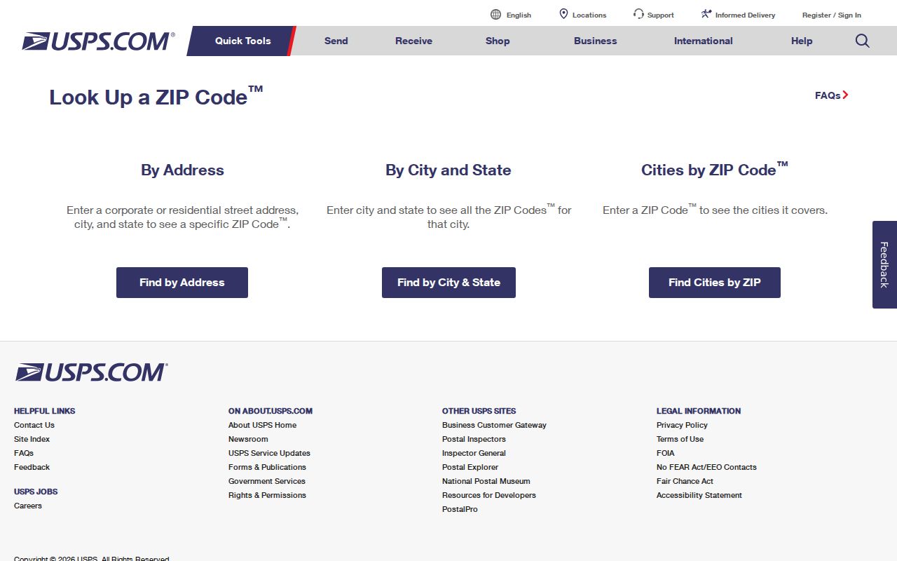
The captured tabs show why a city label and a ZIP should be confirmed from the exact search mode used. Record the lookup date because postal and municipal information can change.
Johnston Parcel Routes Without a ZIP Field
Johnston Tax Administration’s Tax Card entry screen documents three search methods: Property Owner Name, Parcel Number, and Property Address. MapClick can locate by Tax Number, Address, Deed Book/Page, Owner Name, Mapsheet, or NC PIN. Its optional filters include township, city limits, ETJ, rescue or fire district, subdivision, neighborhood, school, coordinates, and monument. Those are useful after USPS confirms an address, but the inspected forms do not display a live ZIP-search control.
The public Sales Search is another address-related property route. Its inspected form exposes map inputs and ranges for units, bedrooms, baths, year built, area, price, land size, sale date, neighborhood, township, land use, zoning, selection category, improvement type, and dwelling style. The form’s visible years ran from 2003 through 2026. That is an observed filter range, not proof of the full record span.
Johnston’s Sales Search shows the available property criteria, not a documented postal-code filter.
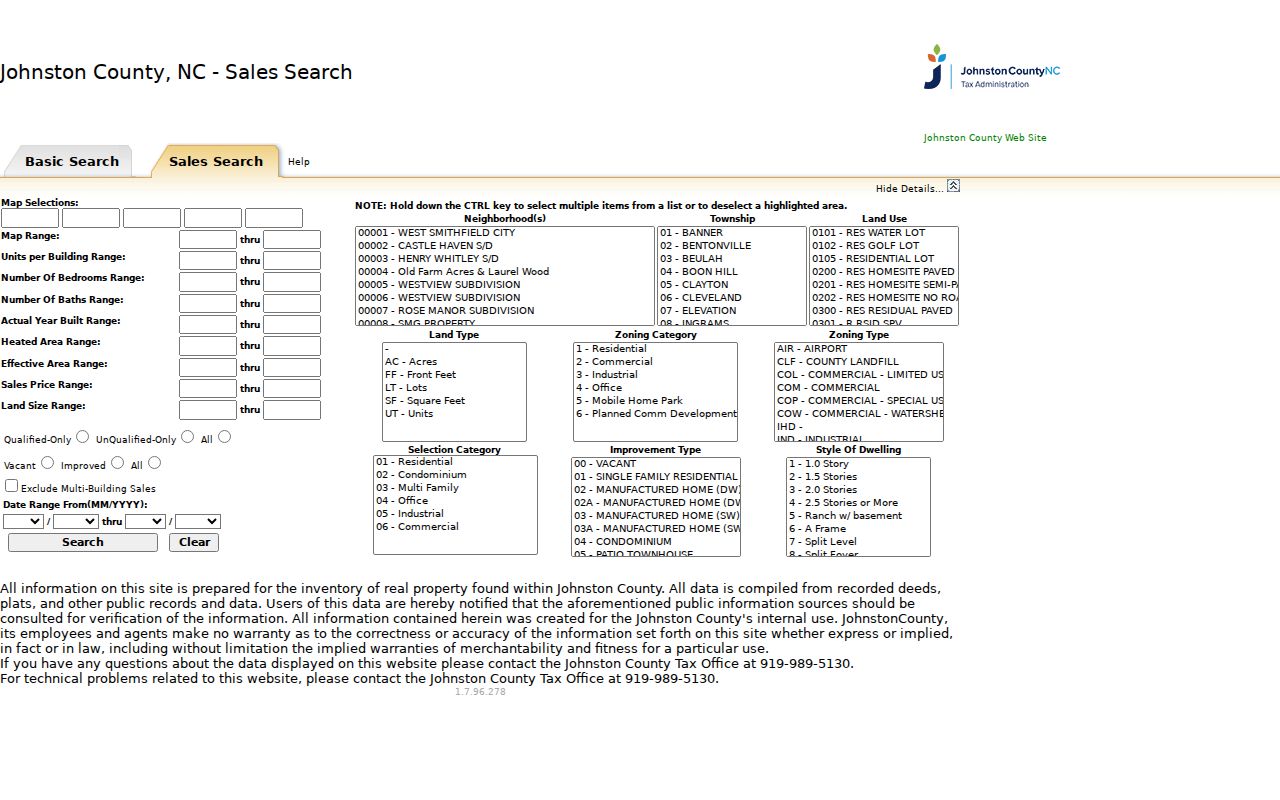
Use a returned PIN, parcel shape, deed book/page, and physical address to confirm the right parcel. The county cautions that assessment data are compiled from public sources and should be checked against the source document.
Johnston ZIP Boundaries and City Lines
A ZIP boundary is not a municipal boundary, county line, E-911 district, school district, or parcel boundary. Johnston Planning expressly says its addressing procedures do not change ZIPs and that community names follow Postal Service practice. This is why a newly assigned county address can carry a postal city different from the municipality or from Smithfield, the county seat. MapClick’s city-limits and ETJ filters help show local jurisdiction after the postal result has been checked.
- ZIP and ZIP+4
- A ZIP identifies a broader postal area. ZIP+4 adds a more specific delivery segment to that mailing code.
- PO-box ZIP
- A postal code used for post-office-box mail. The Johnston research did not identify a county code in this category.
- Unique ZIP
- A postal code assigned for a single organization or delivery destination. No Johnston-specific unique code was identified in the research.
- Carrier route
- A postal delivery route used to organize mail delivery. It is not a parcel or government-jurisdiction boundary.
For an address near a line, cite the USPS result, the county ZIP-map or GIS context, the municipality separately, and the lookup date. Do not infer a Johnston parcel from a ZIP alone.
Johnston ZIP Myth: Postal Lines Are Not Borders
Myth. A Johnston mailing ZIP does not prove that a location lies inside one city or even entirely inside the county. The county warns that postal boundaries cross city and county lines. Its shared list includes Angier, Garner-area, Middlesex, Wendell, Willow Spring, Zebulon, Raleigh, Dunn, and Newton Grove labels that extend into neighboring-county geography. Kenly’s primary/full listing also carries a neighboring-county boundary caution.
The practical response is simple: verify the exact delivery address with USPS, then use the parcel’s situs and GIS geography for the county and jurisdiction questions. A postal label is useful context, not a substitute for those sources.
Johnston ZIP Addressing and E-911 Rules
Johnston’s address coordinator works in the county zoning jurisdiction and town ETJs. The county procedure uses a 10.56-foot interval and roughly 1,000 addresses per mile per side. Odd and even numbers are placed on opposite sides based on the road midpoint. Directional prefixes such as N, S, E, and W matter, road names cannot duplicate the same root, and road names generally change at stop signs. The assigned address then feeds the E-911 database.
Those details are helpful when USPS does not recognize a variation of a rural road name. Try the exact assigned form, preserve the directional and suffix, and compare the parcel map. The Planning route also provides subdivision address lists, subdivision street-name information, a street-name request route, and contacts at 309 E Market Street.
Note: A county-assigned address and USPS postal designation serve different systems, so an address change does not itself change the ZIP.
Johnston ZIP Roads: NC 42 and NC 36
Almost 11 miles of NC 42 were renumbered NC 36 to avoid 911 confusion, coordinated with Johnston County and Clayton. It is a useful road-history example for a ZIP search because a historical record may use a former route label while a current address uses the new one. It does not mean every Johnston address was renumbered.
When an older deed, directory, or map uses a former highway name, search both designations in MapClick, the ROD legal description, and the historical source. Preserve the printed historic form in a separate note, then record the normalized current address only after the parcel and road context agree.
Johnston ZIP Results With a Source Date
A useful ZIP result records the exact submitted address, USPS-recognized city, postal code, lookup date, county, municipality or ETJ context, and the parcel identifier when one is available. This protects against two common mistakes: treating a no-result as proof that the address never existed, and treating a postal result as proof of parcel geography. The county’s own workflow calls for the exact situs in MapClick, USPS By Address, county and municipality noted separately, and comparison with the county ZIP map or GIS boundary.
For a civic-record question, the North Carolina public Voter Search is a name-based tool, not a ZIP directory. The county data-request form supplies geography choices such as entire county, municipal only, commissioner district, school district, precinct, or ward, along with street and walking-list arrangements. Protected-address rules remain in force. Do not request an office to create a new list merely because a postal code is known.
Johnston ZIP Code Directory Interpretation Limits
The Johnston ZIP code directory is strongest when it describes postal coverage and the source path to an exact address. It cannot establish ownership, current presence, municipal jurisdiction, or a complete set of people associated with a code. County parcel data, voter records, deeds, historical directories, and postal results each have different dates and limits. Keep the field label, source, and date beside every result.
Lawful use. Use public records for personal, lawful research. Respect protected addresses and redacted information, and never use a ZIP, parcel, or directory trail to stalk, harass, or harm anyone.