
Johnston Street Search From Address to Record
Start with the most exact Johnston address available. MapClick resolves an address string to a parcel and PIN, while Tax Administration supplies the assessment-side owner and address fields. The Register of Deeds, or ROD, then supplies the recorded instrument and legal description. None of those layers is a complete household list. A parcel owner can be different from the person connected with an election record, and a mailing destination can be outside the county. Keeping the source labels separate makes a street-by-street result easier to check later.
- Enter the number and street in Johnston MapClick 8, then confirm the returned parcel shape, PIN, mapsheet, and physical address.
- Use the PIN or address in the Tax Card route to identify the owner field, mailing address, physical address, acreage, and value without treating any one field as proof of occupancy.
- Save the deed book and page shown for the parcel, then use the ROD index to inspect the instrument, parties, date, and legal description.
- For a current civic-record question, use the state voter search for one name or submit the county data-request form for a narrow street or precinct arrangement.
- For an older household question, compare the dated Smithfield-Selma directories and other historical sources before making a time-specific conclusion.
That order creates a repeatable chain: address, parcel, tax fields, deed reference, and then any separate dated source. It also explains why a no-result on one screen does not end a Johnston search.
Johnston Street Directory MapClick Fields
MapClick 8 is Johnston County’s practical parcel crosswalk. Its locator can use a Tax Number, Address, Deed Book/Page, Owner Name, Mapsheet, or NC PIN. The official manual also identifies filters for township, city limits, ETJ, rescue and fire districts, subdivision, neighborhood, school, coordinates, and monument. These controls matter when the same road passes through rural territory, a postal community, and a municipal edge.
| Street search mode | Field or control | Useful result | Fallback |
|---|---|---|---|
| Exact address | Number and street | Parcel and address match | Use a partial street name or street-only query. |
| Owner lookup | Partial, case-insensitive name | Parcel candidates | Try surname only or a recorded spelling variant. |
| Recorded reference | Deed book and page | Parcel cross-check | Confirm the reference in the ROD and allow popups. |
| Parcel identifier | Tax number or 12-digit NC PIN | Specific parcel | Check for dropped zeroes before repeating the search. |
| Street sweep | Street Info or address range | Road range and nearby parcels | Use the map when the address database is incomplete. |
Johnston MapClick 8 is shown in the parcel-viewer capture below.
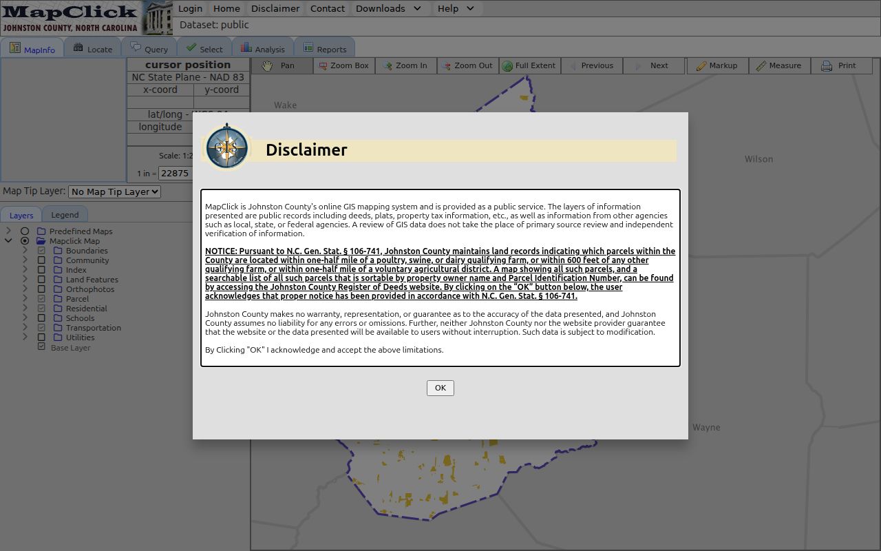
The viewer can also run single-parcel, multiple-parcel, multiple-layer, subdivision, neighborhood, street, permit, deed-image, plat-image, and tax-card queries. A buffer can gather surrounding parcels after a parcel is selected.
Note: MapClick permits partial street-name searches, but its address database is incomplete and a red plus can mark only an approximate location.
Johnston Street Address Fields Kept Separate
A Johnston street directory is more useful when its labels mirror the county’s labels. The Tax Card entry screen offers Property Owner Name, Parcel Number, and Property Address as its search methods. A Single Parcel Tax Info result can show parcel number, market value, acreage, owner, mailing address, and physical address. The county says its property data are compiled from deeds, plats, and other public records and disclaims accuracy, so an important field should be compared with the underlying record.
- Parcel
- A defined piece of land in the tax and map system, commonly tied to a PIN, mapsheet, and tax number.
- Owner of record
- The owner field shown by the tax system. It identifies the tax-record interest, not necessarily a present household.
- Mailing address
- The destination for tax correspondence. It may be outside Johnston County and is not the parcel location.
- Situs or physical address
- The location of the parcel itself. Use this field for the place on a named street.
- Plat
- A recorded map that can establish lots, streets, and subdivision boundaries more precisely than a casual map view.
Johnston Tax Administration’s property search shows the starting search-method selector.
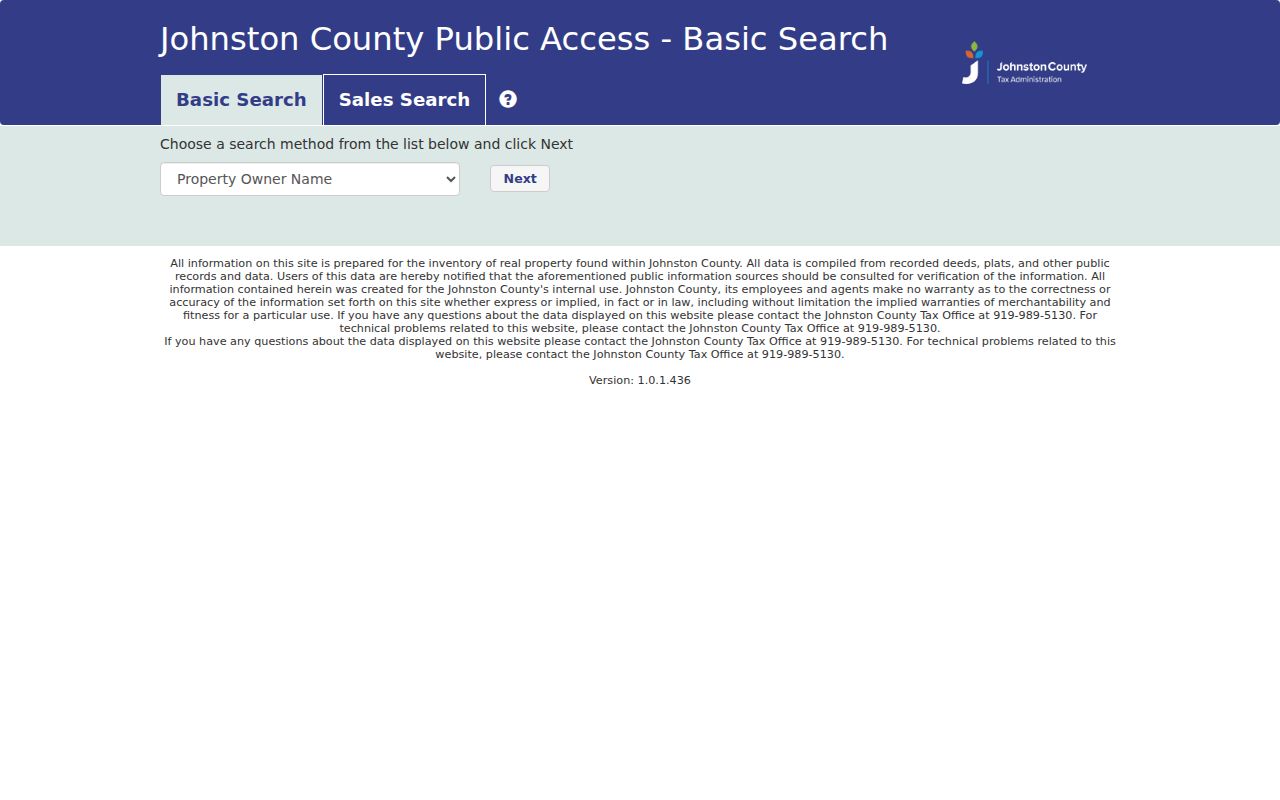
When an address produces no owner result, Johnston directs researchers to use a PIN or MapClick and then contact Tax Administration rather than infer ownership from a mailing city.
Browse a Johnston Street in MapClick
A street-only query can zoom the full road after Enter or Submit. The MapClick manual says the street view can work with an address range, while Multiple Parcel Tax Info and Multiple Layers support broader sweeps. Turn on parcel boundaries and streets first, then use a jurisdiction layer, such as city limits or ETJ, only to understand geography. A postal community name may not match the incorporated municipality, and a map result should not be flattened into a personal conclusion.
For a long rural route, record the normalized address, original spelling, direction, municipality, ZIP, PIN, mapsheet, and the source date. Compare the returned situs, parcel shape, PIN, and mapsheet whenever more than one result appears. MapClick’s current and 2010 parcel layers offer a limited comparison of geometry or attributes, while the deed index remains the route for transaction dates.
Johnston Street Tax Cards and Sales Filters
The Tax Card form confirms an owner-name, parcel-number, or property-address route. Its inspected landing screen does not document the later result fields, so it is better to describe those three choices than to promise an unobserved option. Johnston’s separate public Sales Search is a property-data tool with map selections, unit, bedroom, bath, year-built, area, price, land-size, date, neighborhood, township, land-use, zoning, and dwelling-style filters. The visible year choices ran from 2003 through 2026 on the inspected form, which is a filter range rather than a claim about the county’s full deed history.
Johnston’s public Sales Search displays the available property filters.
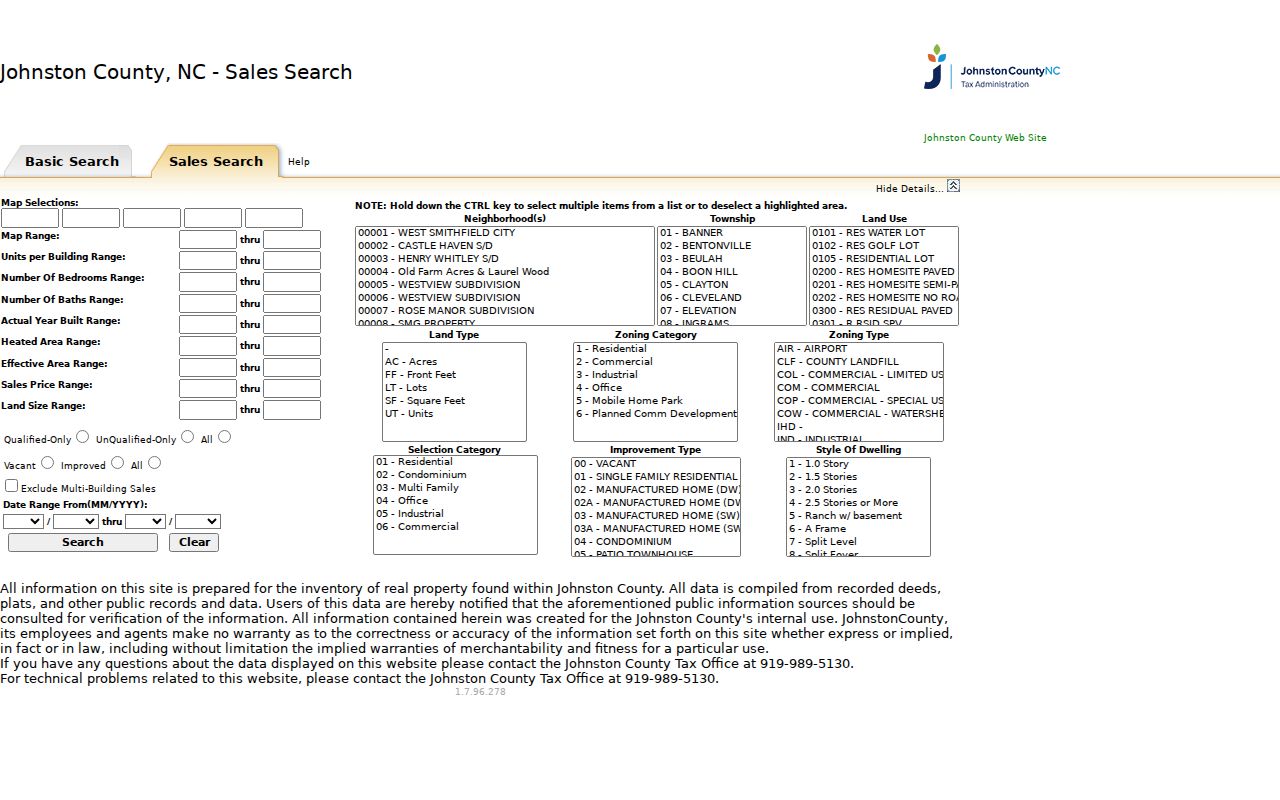
The sales screen can help compare a parcel after it has been identified, but a sale record does not establish a person’s income or current use of the property. The report can show the last five sales where available.
Johnston Street Deed Records Across Two Clocks
For a Johnston street directory, the ROD is a separate step after the parcel has been found. Search the deed book and page, current grantee, grantor, date, document type, subdivision, or reception number. The ROD help also supports advanced search terms, a wildcard, and a related-document route. Read the legal description and plat with the street number because an address is not itself the legal description. Rights-of-way, easements, releases, and deeds of trust may explain a record trail without transferring ownership.
Johnston’s county materials report digitized land and vital material from 1746 with historical indexing continuing. A local genealogy resource describes the public online ROD search as 1919-present and lists grantor/grantee books for 1746-1860. State both facts together. A missing result in the modern interface is not proof that a document was never recorded; the older route can involve books, indexes, the Heritage Center, FamilySearch, or an in-office terminal.
Johnston County Online Record Search is the public entry point for its current index.
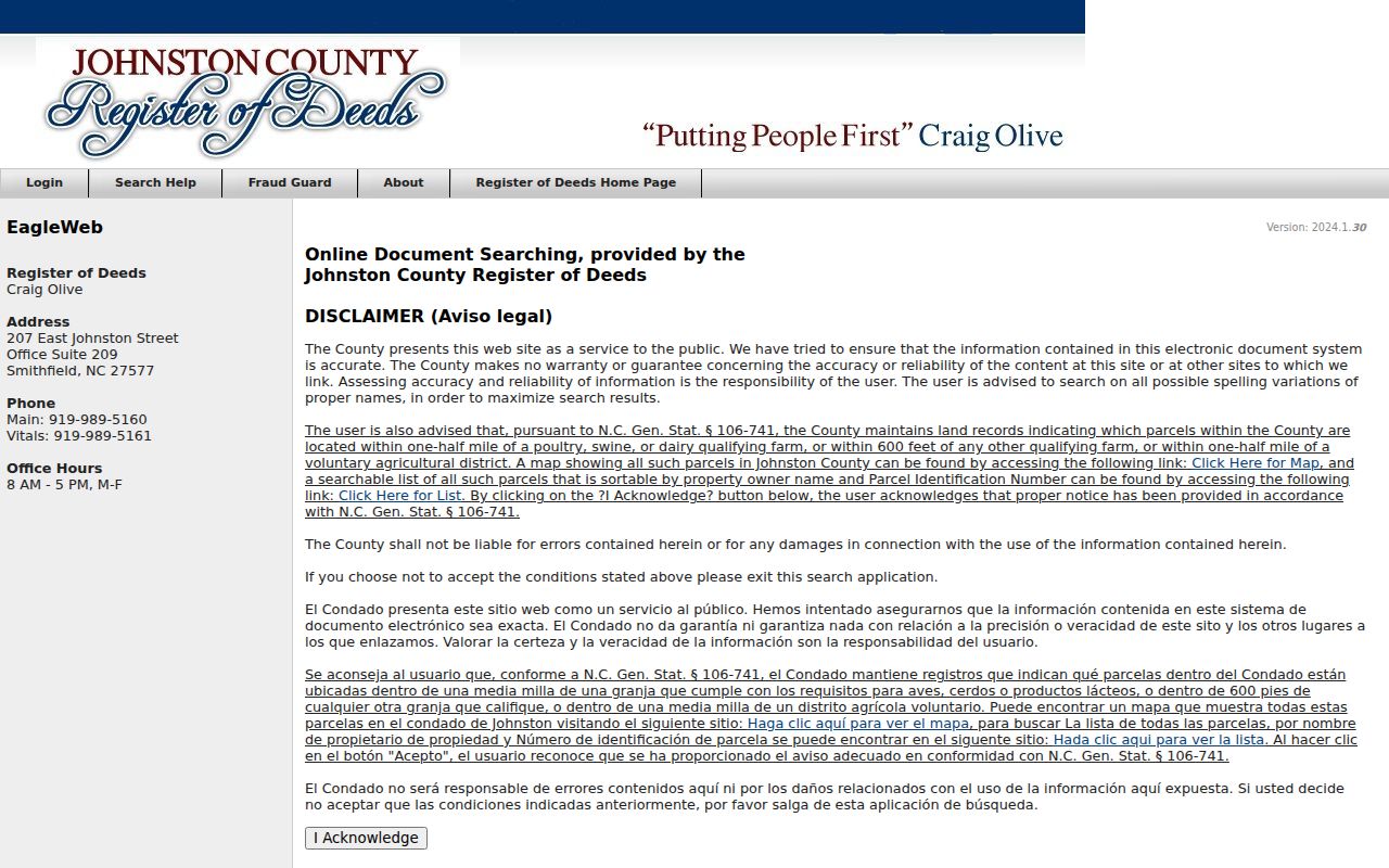
The ROD page requires an acknowledgement and provides a much broader form than a surname-only search. Preserve each instrument type, date, parties, book/page, and legal-description match in a street worksheet.
Note: Plain ROD copies are 10 cents per page, with a one-dollar mail minimum; certified recorded copies are five dollars for the first page plus two dollars for each additional page.
Johnston Street Records and Their Boundaries
Each Johnston address-keyed source has a different purpose and date boundary. The table separates the office that maintains the source from what it can actually support. A street directory result should retain the record type and lookup date instead of converting every hit into a statement that someone lives at the address.
| Johnston record set | Custodian | Street-level information | Access boundary |
|---|---|---|---|
| MapClick parcel layer | Johnston GIS | Polygon, PIN, mapsheet, owner, mailing and physical address, deed book/page | Public viewer; current and 2010 layers, with varying layer dates. |
| Tax card and sales route | Tax Administration | Assessment fields, value, acreage, and sales context | Public portal; no official online coverage date located. |
| Recorded index | Register of Deeds | Deeds, plats, rights-of-way, parties, and related instruments | Modern public search reported as 1919-present; older books and indexes reach back to 1746 in local material. |
| Permit search | County Inspections | Application and inspection fields by address, subdivision, township, date, or number | County states six years beyond certificate of occupancy or completion. |
| Voter street arrangement | Johnston Board of Elections | Permitted registration fields in a requested street arrangement | County form, fees, minimum processing time, and protected-address rules apply. |
The PIN and deed reference connect the tax, GIS, and ROD layers. A street name alone can be ambiguous, especially where a road crosses township or postal boundaries. For a dated household clue, the historical volumes summarized in the Johnston city directory collections are a separate evidence source.
Johnston Street Permit and Voter Routes
County permit searching can use an address, subdivision, township, date, number, or related application field. The county’s stated retention period is six years beyond certificate of occupancy or completion, so an older project may need another record route. A permit can provide project-history context for a parcel. It does not prove a household relationship or replace the land record.
For civic geography, North Carolina’s public Voter Search is a name-based confirmation tool with first name, last name, optional middle initial, optional year of birth, county, and status controls. The county’s separate data-request form permits voter-registration, voter-history, or voter-statistics requests and offers street, walking-list, precinct, or ward arrangements. The form lists 15 cents per sheet for printouts or copies, 40 cents per sheet for labels, ten dollars for a USB, and free email delivery, with a minimum five-business-day processing time.
Choose the narrowest geography and fields needed. A voter registration address can differ from a mailing address, and registration status does not establish parcel ownership.
Johnston Street Directory ROD Related-Record Tip
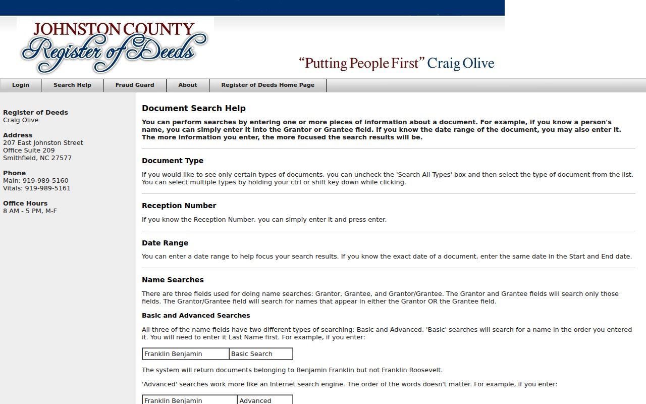
Insider tip. Once a current Johnston instrument is open, the ROD’s Find Related function can follow documents that refer to it or share its legal description. That is often more reliable than guessing from a street name when a subdivision, old route, or parcel split is involved. Search the prior grantor only after confirming that the legal description and map location still point to the same parcel.
The ROD search help describes the grantor, grantee, subdivision, document-reference, and related-document methods.
A defensible chain records the prior and current party, instrument type, date, book/page, and the exact description match. It leaves uncertain links marked as unresolved rather than forcing a match.
Johnston Street Numbers, Names, and NC 36
Johnston’s Address Coordinator assigns addresses in county zoning territory and town ETJs. The local procedure uses a 10.56-foot interval, about 1,000 addresses per mile per side, and odd and even numbers placed on opposite sides from a road midpoint. Directional prefixes matter, duplicate road-name roots are restricted, and road names generally change at stop signs. Those rules help interpret a current address, but they do not guarantee an old directory number still maps to the same spot.
Almost 11 miles of NC 42 were renumbered NC 36 to avoid 911 confusion, in coordination with Johnston County and Clayton. Treat that as a documented road-history example, not a rule for every road. When a historical source uses a former highway designation, search both names in MapClick, the ROD legal description, and dated directories. The county’s planning page says ZIP codes do not change through its addressing process, so postal naming and E-911 addressing must be checked separately.
Johnston Street Directory Privacy Limits
A Johnston street directory cannot turn a public parcel result into a complete list of people at an address. Tax ownership, mailing addresses, voter registration, and old directory entries all have different meanings and dates. North Carolina public access is record-specific. Sensitive identifying numbers, protected addresses, unmasked birth information, and confidential material should not be copied from a record trail.
Lawful use. Use Johnston records for personal, lawful research and respect the Address Confidentiality Program. If an address is protected or a field is redacted, stop the address trail rather than trying to reconstruct it from indirect clues. Never use records to stalk, harass, or harm anyone.